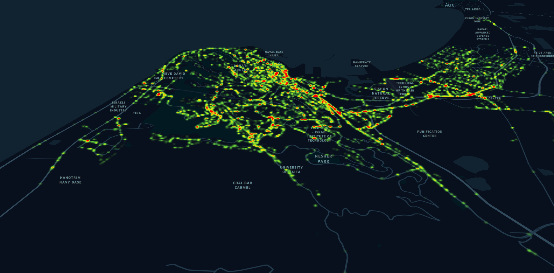
Product name: Crowed-sourced, real-time pavements mapping
Location:
 MIC - Israel
 Category:
Tactile Mobility gathers and analyzes data drawn from existing on-board municipal vehicle sensors. This turns every municipal vehicle into a probe that “feels” the road, maps road friction and pinpoints hazards – then sends this data securely to the cloud.
Tactile Mobility cloud correlates and analyzes vehicle-generated data using advanced AI-powered algorithms. The system then generates actionable and updated road insights that maximize road safety, focus maintenance and upkeep efforts and identify critical wear-and-tear trends. We call these insights SurfaceDNA™ and they enable:
- An objective road quality score for each road traveled by municipal vehicles – along with an overall segmented city road quality score (per segment)
- Reports of road damage – cracks, potholes, bumps, and more – including severity and GPS-resolution location
- Timely alerts of road hazards such as oil spills, puddles, ice and other weather-related hazards – including severity and GPS-location
- Long term insights, analyses and road quality trends
The solution is deployed in Haifa, Singapore, Detroit, Yorkshire, Berlin, Hamburg.
Need a Solution?
Hi! Did you like the solution and want the company to contact you?
Send us your details and explain shortly what you need, and we'll send the company your form
Send us your details and explain shortly what you need, and we'll send the company your form

