Product name:
Location:
 MIC - Israel
 Category:
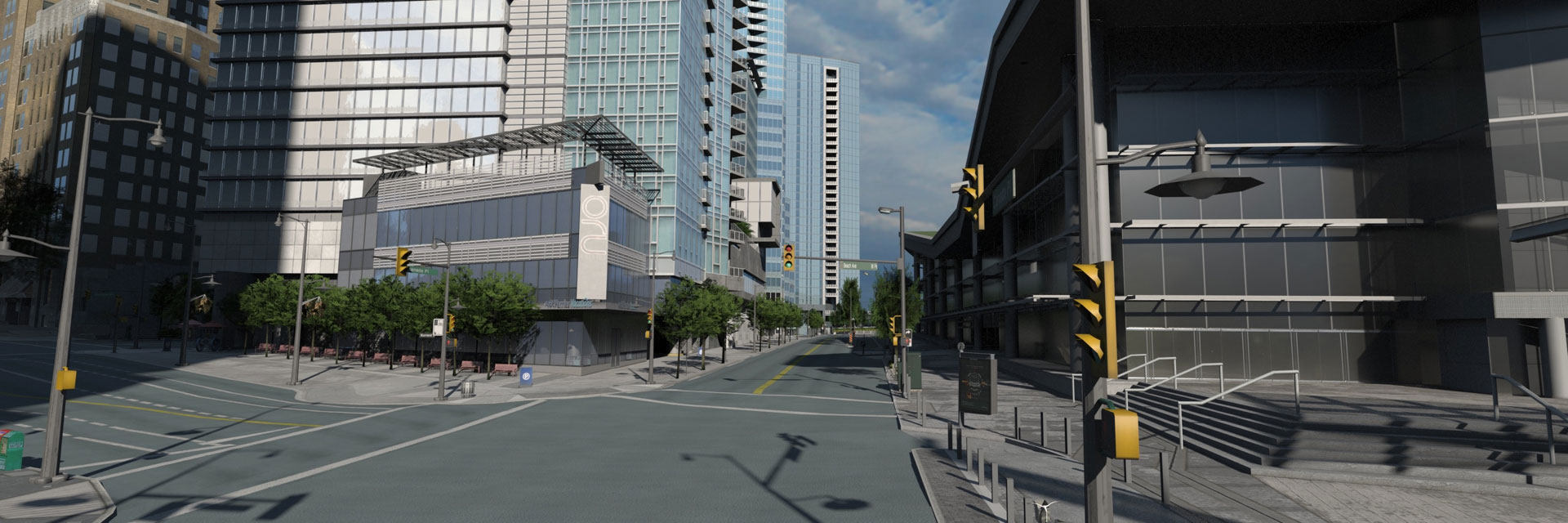
GeoSim’s custom technologies provide a pipeline for the collection, integration and validation of data for the creation of high-definition, naturalistic 3D city models for real-time exploration and interaction.
Key to the models’fidelity is the company’s proprietary Groundscan 3D city mapping platform, which fuses high-resolution scans and photos gathered aerially, at street level and in building interiors.
For ground-level scanning (photo below), the company employs a distinctive ‘stop-scan’ methodology using carefully chosen scanning points in each city street. They say this is up to ten times more accurate than moving-vehicle methodologies, and claim a spatial accuracy of 10cm for outdoor data, 5cm indoors.
Video
Need a Solution?
Hi! Did you like the solution and want the company to contact you?
Send us your details and explain shortly what you need, and we'll send the company your form
Send us your details and explain shortly what you need, and we'll send the company your form


